Free globe SVG files
Free globe SVG files drawn by code: the Earth on a classroom stand, as a disc seen from three sides, as a grid icon, with striped seas, with an orbit and as a heart. The continents are simplified so they cut cleanly: recognisable, not cartographically exact.
12 designs. Free for personal and commercial use, no sign-up. What you can do with them.
-
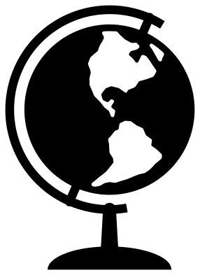 Globe on a stand Solid · one piece
 -
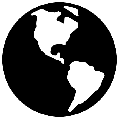 Earth globe showing the Americas Solid · one piece
 -
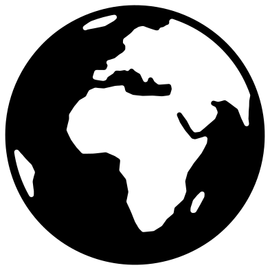 Planet Earth globe showing Africa and Europe Solid · one piece
 -
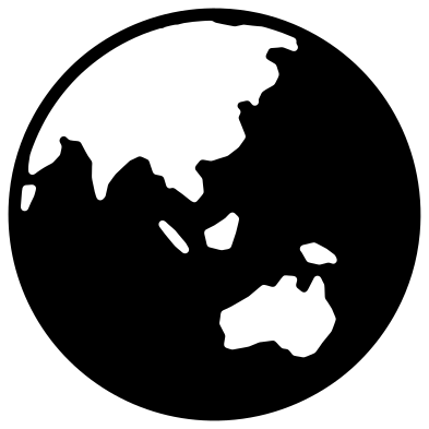 World globe showing Asia and Australia Solid · one piece
 -
 Globe icon with grid lines Outline · one piece
 -
 Flat globe with striped seas Solid · one piece
 -
 Globe with an orbital path Solid · one piece
 -
 Heart-shaped world Solid · one piece
 -
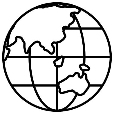 Globe outline with continents Outline · one piece
 -
 Wireframe globe on a stand Outline · one piece
 -
 Simple globe for children Solid · one piece
 -
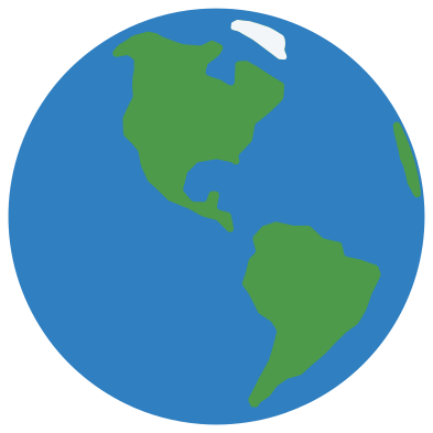 Layered green globe in three colours Layered · 6 pieces
How exact is the map?
Not very, and on purpose. Each continent is a hand-simplified outline of a few dozen points, projected onto a sphere and then smoothed. Small islands are dropped, narrow straits such as Gibraltar and the English Channel are drawn wider than life so the material between them does not tear, and inland seas and big lakes are filled in. The result reads at once as the Earth, which is what a cut file needs, but it should not be used to teach coastlines or to measure anything.
On the solid globes the land is cut out of the sea, so a globe is one piece with a rim about 3 mm wide at 100 mm. Put a second colour behind it and the continents show through.
Choosing a side of the world
There are three views: the Americas, Africa with Europe, and Asia with Australia. Pick the one that shows the place your project is about. The globe on a stand and the layered globe show the Americas; the simple globe, the striped globe and the heart show Africa and Europe; the outline shows Asia. If you need a different view, mirror nothing: a flipped Earth is the one mistake everybody notices.
How to open the files
- Cricut Design Space: choose Upload, pick the SVG, and add it to the canvas. Set the width you want; the shape is already welded.
- Silhouette Studio: Designer Edition and above open the SVG. The free Basic Edition does not, so open the DXF instead.
- LightBurn, xTool Creative Space and Glowforge: import the SVG, then set the layer to cut, score or engrave.
- Inkscape, Illustrator and Affinity: open the SVG. It is a plain filled path, so you can recolour it, add a stroke or combine it with your own work.
- Printing or sublimation: use the PNG, which has a transparent background.
Each design page lists the file’s narrowest part at seven sizes, so you can tell whether it will survive at the size you plan to cut.
Questions
Can I use these globes for a geography lesson?
As decoration, yes: for labels, folder covers and classroom walls. As a map, no. The coastlines are simplified and smoothed, some seas are widened and many islands are missing, so use a proper atlas for anything that needs to be right.
How do I make the land green and the sea blue?
Use the layered green globe, which has the sea, the land and the ice as separate pieces. With the solid Earth designs, cut the disc in blue and lay it over a green circle of the same size, so the green shows through where the land is cut out.
Why does the globe on a stand lean?
Because the Earth does. Its axis is tilted about 23.5 degrees from upright, and classroom globes are mounted at that angle, so the arm and the continents here are turned by the same amount.
 Flower SVG
  Sunflower SVG
  Butterfly SVG
  Rose SVG
  Daisy SVG
  Leaf SVG