Free US map SVG files: the United States with state lines, as an outline and as a flag
The map of the United States as 11 cut files: the lower 48 as a solid shape and as an outline, with the state lines, with Alaska and Hawaii, as a three-colour flag, and cut out of a heart, a disc and a plaque. Each is drawn from the official boundaries and measured.
11 designs. Free for personal and commercial use, no sign-up. What you can do with them.
-
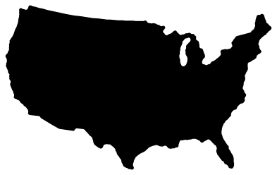 US map silhouette Solid · one piece
 -
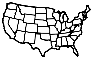 US map with state lines Outline · one piece
 -
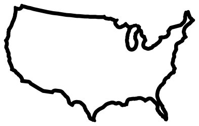 US map outline Outline · one piece
 -
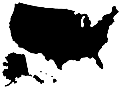 US map with Alaska and Hawaii Solid · 7 pieces
 -
 US map with a heart cut out Solid · one piece
 -
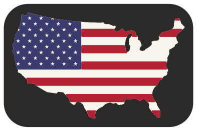 American flag US map Layered · 12 pieces
 -
 US map cut from a disc Solid · one piece
 -
 US map cut from a plaque Solid · one piece
 -
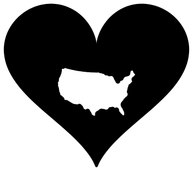 US map cut from a heart Solid · one piece
 -
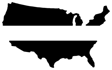 Split US map for a name Solid · 3 pieces
 -
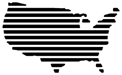 US map in stripes Solid · 20 pieces
How the map is drawn
The outline is the US Census Bureau’s cartographic boundary for each state, joined into one shape and drawn on the Albers equal-area conic projection with standard parallels at 29.5° and 45.5° north, the projection of most printed maps of the country. That is why the northern border is a gentle curve that rises towards both coasts, and not the straight line of a flat web map. At the library’s standard size the lower 48 are 100 mm wide and 62 mm tall.
To make it cuttable, islands under about 2 mm² at this size are left out, and inlets and spits narrower than 1.4 mm are closed or removed: Chesapeake Bay and Puget Sound are simplified, and the Florida Keys are not drawn. Long Island stays where it is large enough to cut. The map with state lines is a net of lines 1.1 mm wide, coast and borders together.
Making something with the US map
For a travel map, cut the version with state lines about 400 mm wide in vinyl, and fill in each state you visit with a marker or a second colour. At that size the lines are 4.4 mm wide and every state except the smallest in the north-east can be told apart. For a small decal, use the silhouette or the outline, which are clean at any size.
The flag version is three layers and an optional plaque. Cut the white map first, then the red stripes, then the blue canton, and stack them with the map’s edge as your guide; the stars are holes in the blue, so the white shows through. For a single state, see the state outlines, each drawn on its own projection.
How to open the files
- Cricut Design Space: choose Upload, pick the SVG, and add it to the canvas. Set the width you want; the shape is already welded.
- Silhouette Studio: Designer Edition and above open the SVG. The free Basic Edition does not, so open the DXF instead.
- LightBurn, xTool Creative Space and Glowforge: import the SVG, then set the layer to cut, score or engrave.
- Inkscape, Illustrator and Affinity: open the SVG. It is a plain filled path, so you can recolour it, add a stroke or combine it with your own work.
- Printing or sublimation: use the PNG, which has a transparent background.
Each design page lists the file’s narrowest part at seven sizes, so you can tell whether it will survive at the size you plan to cut.
Questions
Why are Alaska and Hawaii not on most of these?
They are far from the other states and Alaska is very large, so a map to scale would be mostly ocean. The design with Alaska and Hawaii places them below the south-west, with Alaska reduced, as wall maps do. The rest show the lower 48.
Can I colour in single states?
Yes, in two ways. Cut the map with state lines and colour inside them, or download the states you want from the state sets and cut each in its own colour.
How accurate is it?
It is the Census Bureau’s public-domain boundary data, simplified only as far as cutting needs. It is a shape for craft work, not a map for navigation.
 Alabama SVG
 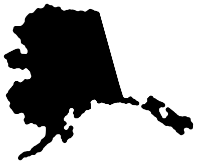 Alaska SVG
 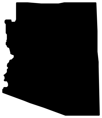 Arizona SVG
 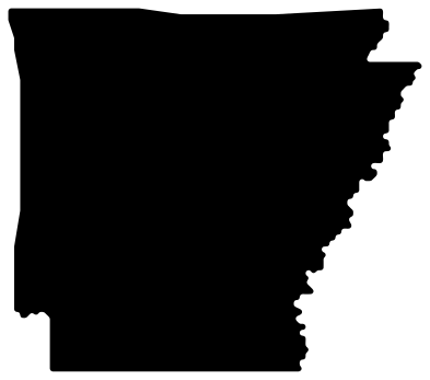 Arkansas SVG
 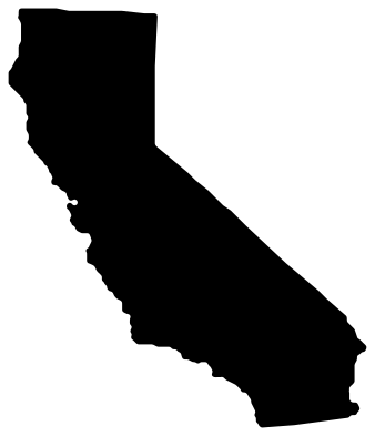 California SVG
  Colorado SVG