Free world map SVG files: detailed, simple, in dots and by continent
The world map as 8 cut files: a detailed map for walls, a simple one that cuts at any size, an outline, dots, stripes, the map cut out of a plaque and an oval, and a layered version with a colour for each continent. Drawn from public-domain map data on an equal-area projection.
8 designs. Free for personal and commercial use, no sign-up. What you can do with them.
-
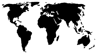 World map for a wall Solid · 54 pieces
 -
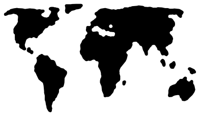 Simple world map Solid · 10 pieces
 -
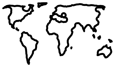 World map outline Outline · 10 pieces
 -
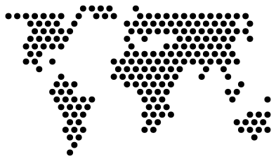 World map in dots Solid · 219 pieces
 -
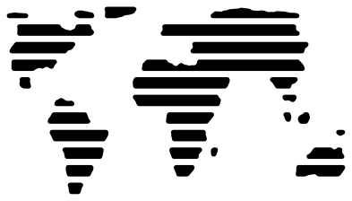 World map in stripes Solid · 31 pieces
 -
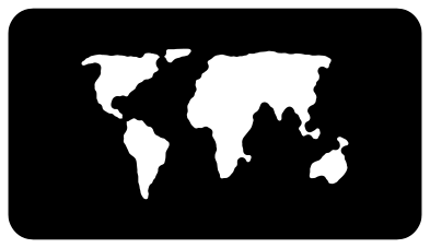 World map cut from a plaque Solid · one piece
 -
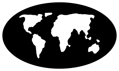 World map cut from an oval Solid · one piece
 -
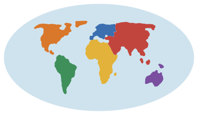 World map with a colour for each continent Layered · 13 pieces
Which map for which size
A world map is the one design in this library that cannot be judged at 100 mm wide. At that size 1 mm on the map is about 400 km on the ground: Britain is 1.5 mm across, Japan is thinner, and Central America is a thread. So there are two maps. The detailed one keeps the islands and the narrow places, with coasts moved out by a tenth of a millimetre so that Japan, Italy and Central America hold together, and is meant to be cut 400 mm wide or more, in vinyl for a wall or by laser in wood. The simple one closes the narrow seas, drops the small islands and cuts cleanly even at 100 mm.
As a rule: under 300 mm wide use the simple map, the dots or the stripes; from 400 mm use the detailed map. The table on each design’s page gives the narrowest part at every size.
The projection
These maps use the Equal Earth projection, published in 2018 for world maps that show countries and continents at their true relative sizes. Africa is fourteen times the size of Greenland on the ground, and it is here too; on the Mercator projection of most web maps the two look alike. Antarctica is left off, as it is on most wall maps, which lets the rest be larger.
The land is Natural Earth’s public-domain data. Lakes are filled in, since a lake cut from vinyl is a loose island to weed, and the Caspian Sea is the only one large enough to notice.
How to open the files
- Cricut Design Space: choose Upload, pick the SVG, and add it to the canvas. Set the width you want; the shape is already welded.
- Silhouette Studio: Designer Edition and above open the SVG. The free Basic Edition does not, so open the DXF instead.
- LightBurn, xTool Creative Space and Glowforge: import the SVG, then set the layer to cut, score or engrave.
- Inkscape, Illustrator and Affinity: open the SVG. It is a plain filled path, so you can recolour it, add a stroke or combine it with your own work.
- Printing or sublimation: use the PNG, which has a transparent background.
Each design page lists the file’s narrowest part at seven sizes, so you can tell whether it will survive at the size you plan to cut.
Questions
How big should I cut the detailed map?
At least 400 mm wide, and larger is better: at 600 mm wide the smallest parts are about 2 mm. For a wall decal wider than your machine, slice the map into panels in your cutting software and join them on the wall.
Why does it look different from the map on my phone?
Web maps use the Mercator projection, which stretches everything far from the equator, so Greenland and Russia look enormous. This map keeps areas true, so the northern lands are smaller and Africa and South America are their real size.
Are there single countries and continents?
Yes. See the maps page for continents, countries and the US states, each drawn on a projection of its own.
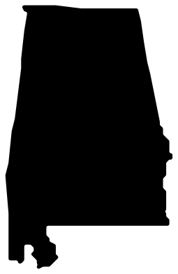 Alabama SVG
 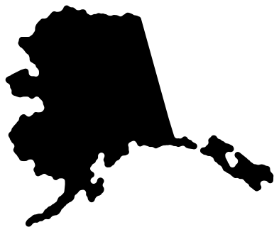 Alaska SVG
 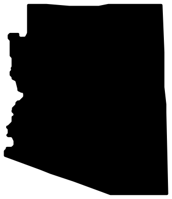 Arizona SVG
 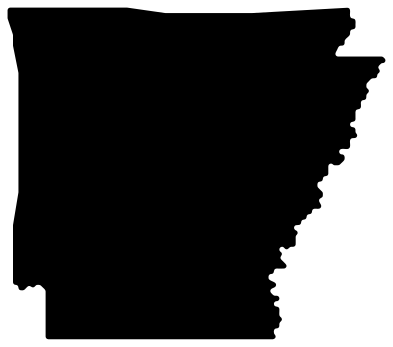 Arkansas SVG
  California SVG
  Colorado SVG